
Items
101–123 of 123
Advanced search
-
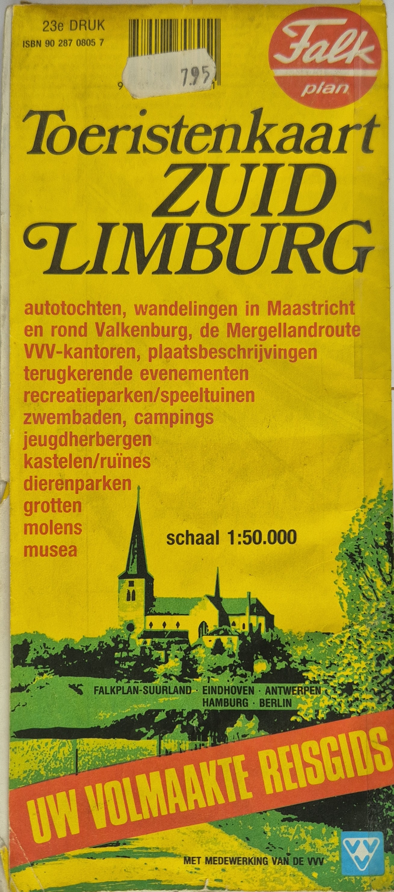 Toeristenkaart Zuid-Limburg Scale: 1:50000
 -
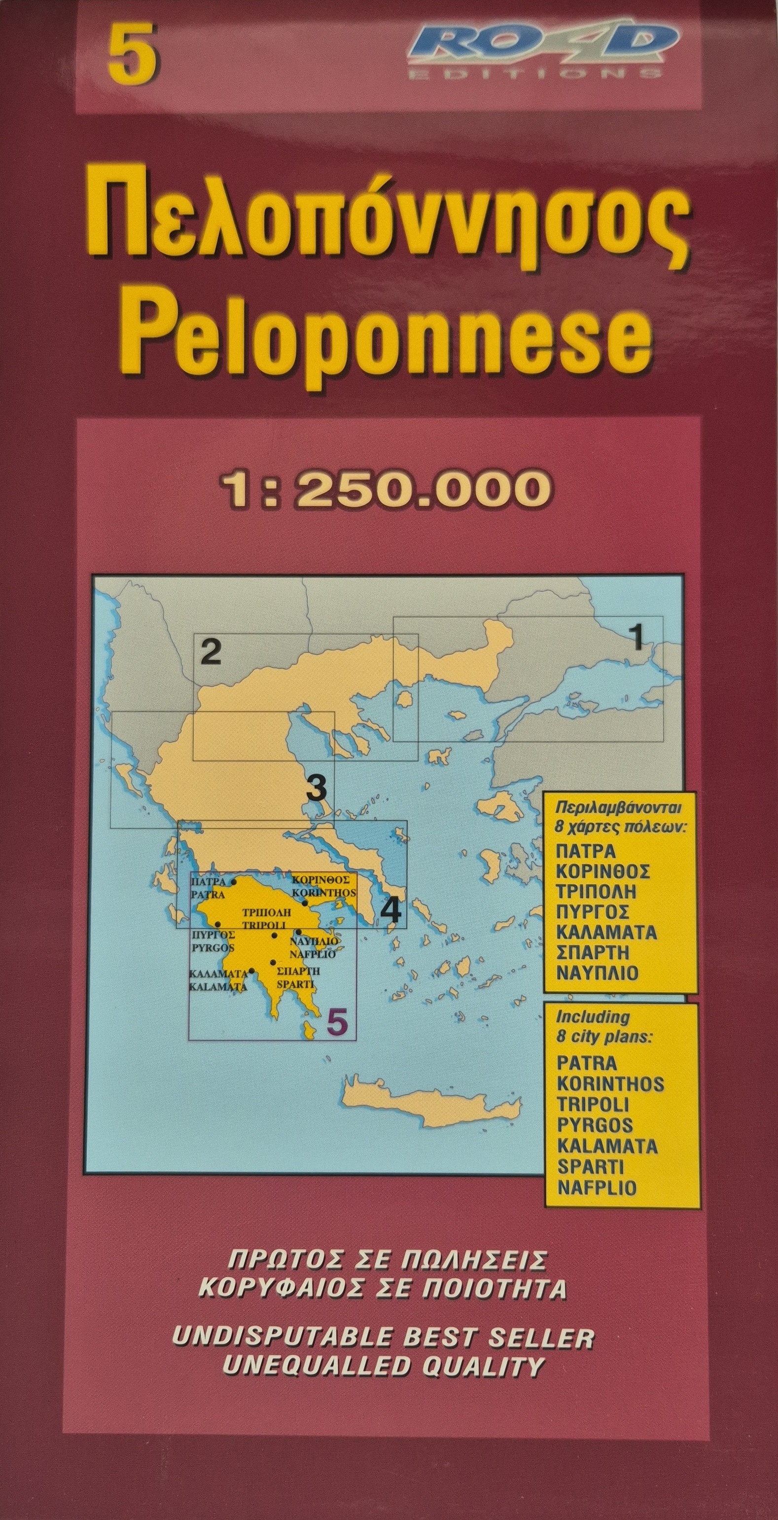 Πελοπόννησος / Peloponnese Scale: 1:250000 Retail price in Greece: €8
 -
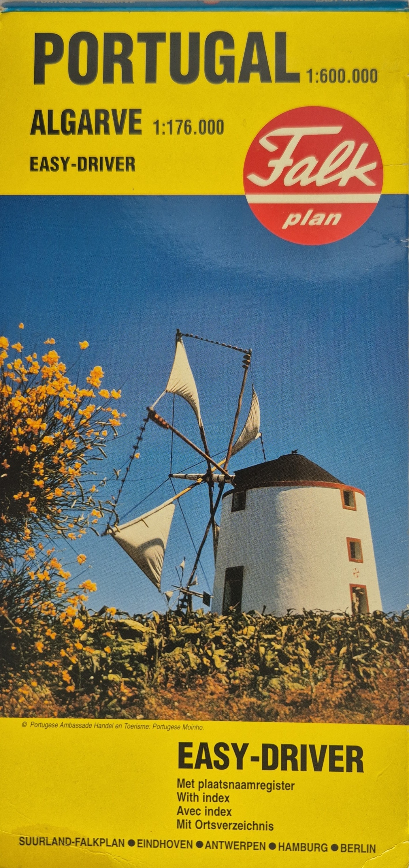 Portugal - Algarve - Easy Driver Scale: 1:600000 (for Portugal), 1:176000 (for Algarve)
 -
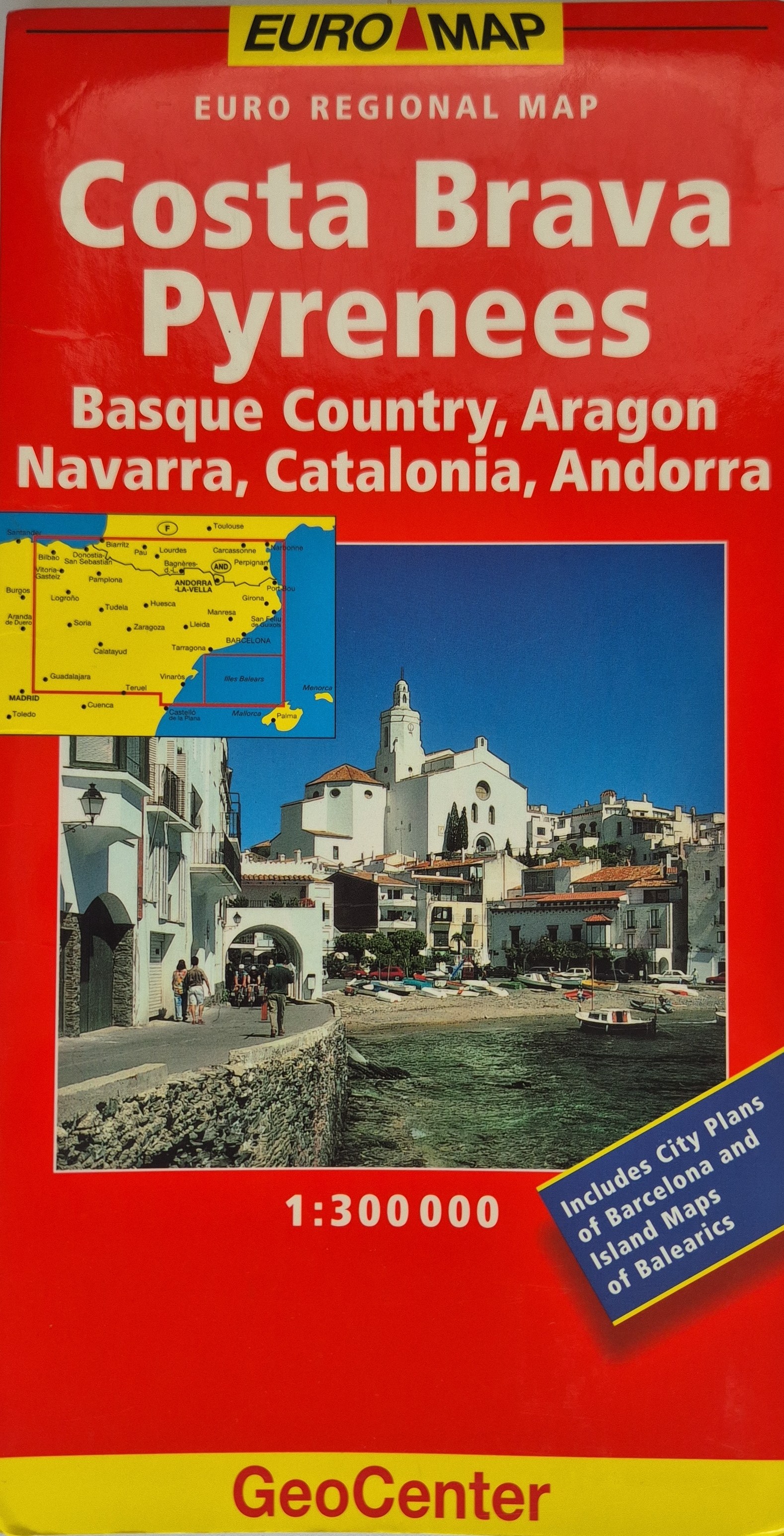 EURO REGIONAL MAP: Costa Brava / Pyrenees Scale: 1:300000 Includes City Plans of Barcelona and Island Maps of Balearics Price: 5.99 GBP
 -
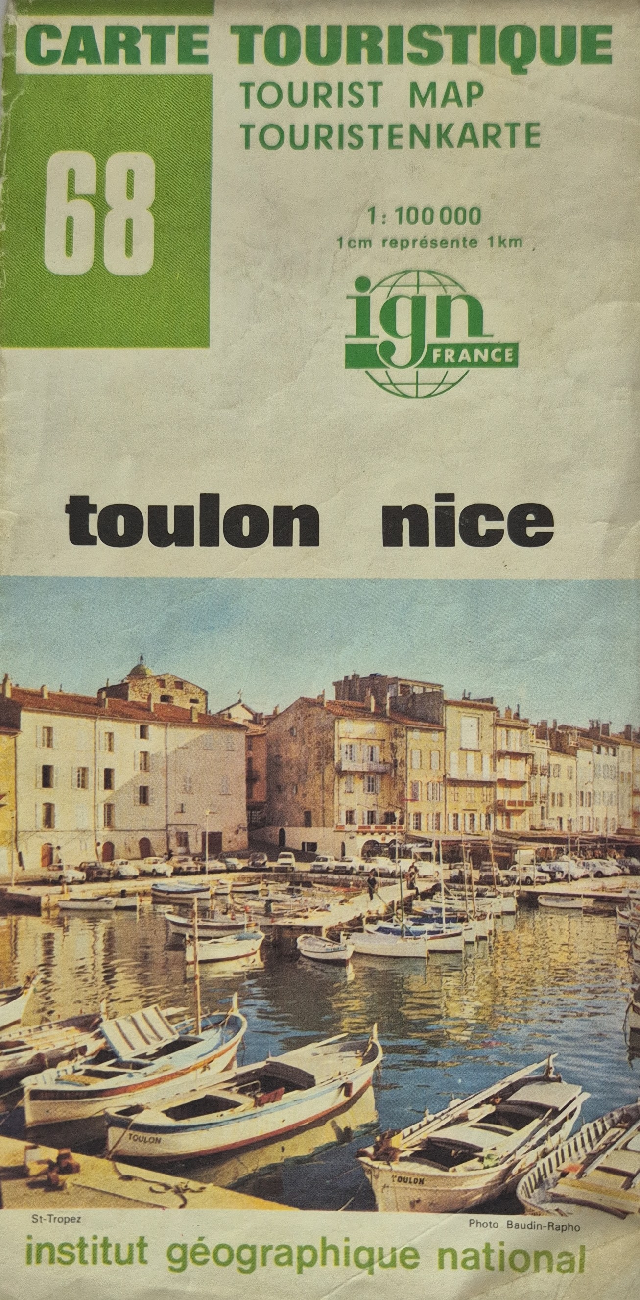 Carte Touristique No. 68: Toulon / Nice Scale 1:100000 ; 1 cm = 1 km
 -
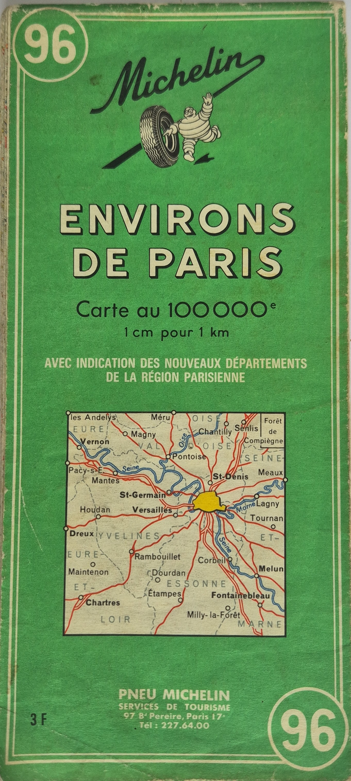 Environs de Paris Scale 1:100000 ; 1 cm = 1 km
 -
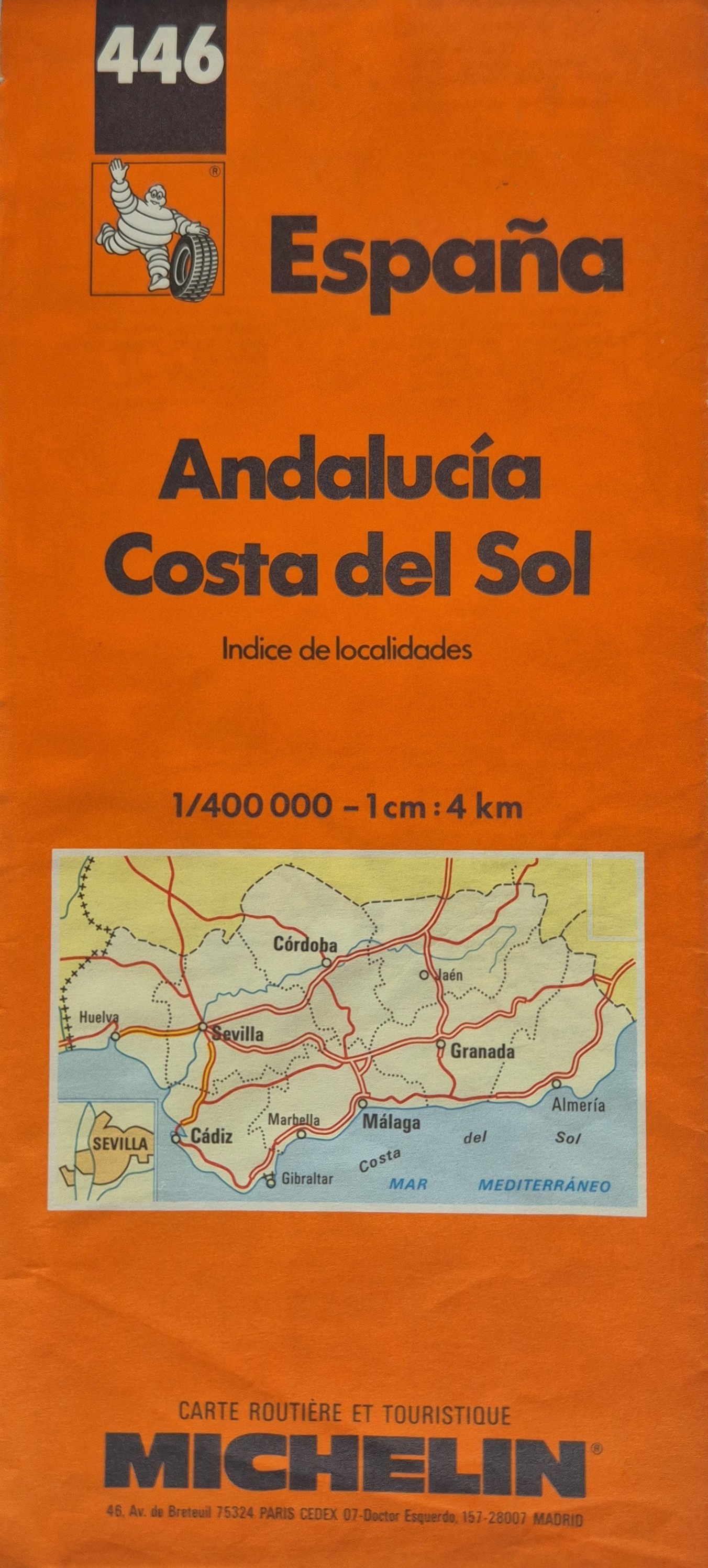 España Andalucía Costa del Sol Scale: 1:400000 - 1 cm : 4 km
 -
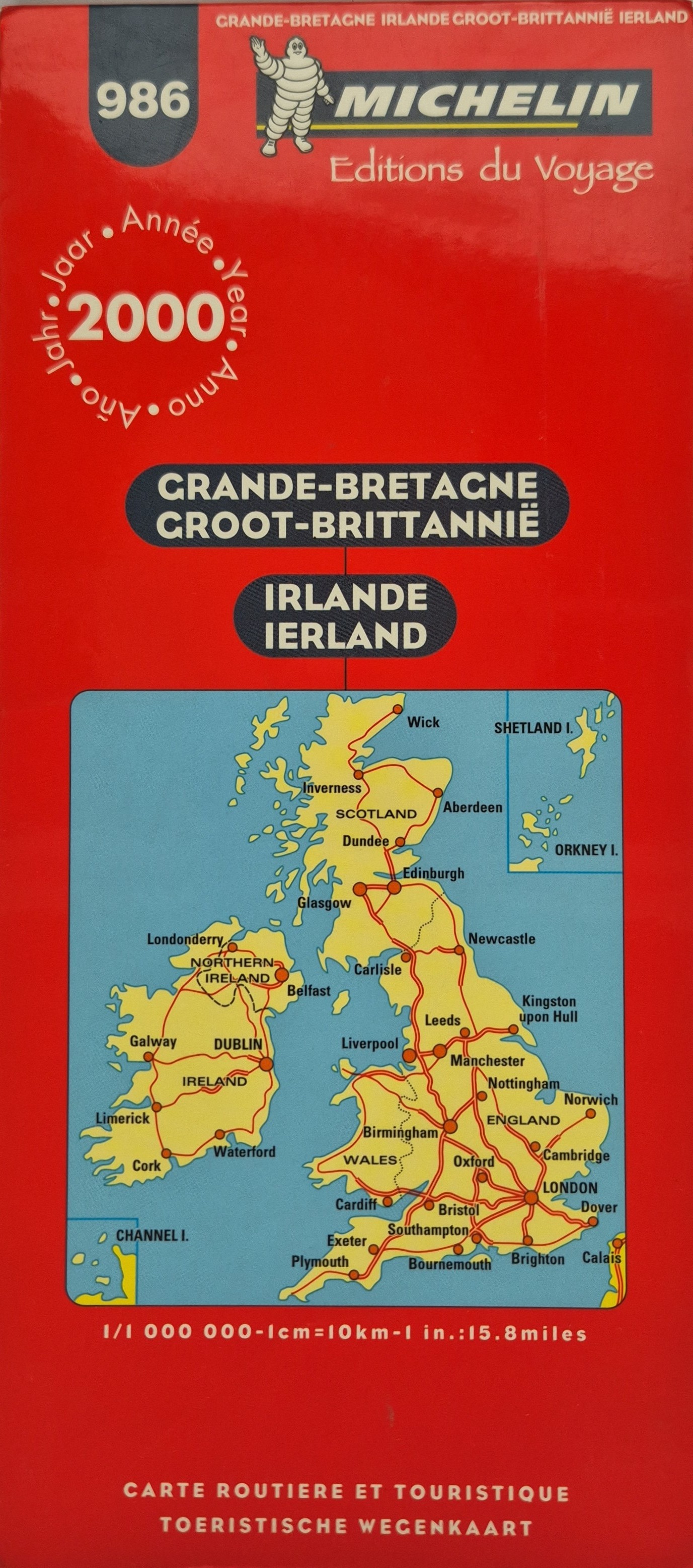 Grande-Bretagne / Groot-Brittannië / Irlande / Ierland Scale: 1:1000000 - 1cm=10km-1 in.=15.8miles
 -
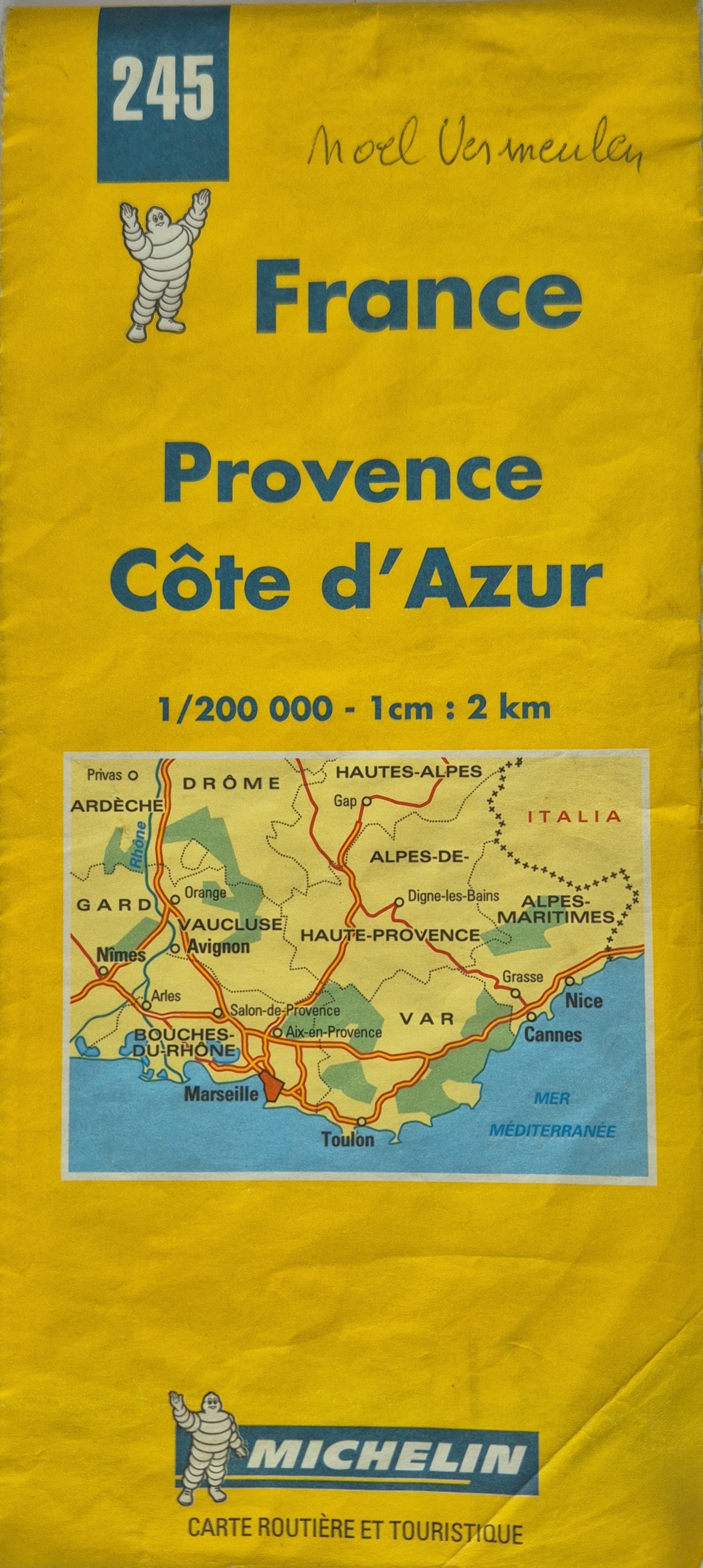 Provence / Côte d'Azur Scale: 1:200000 - 1 cm : 2 km
 -
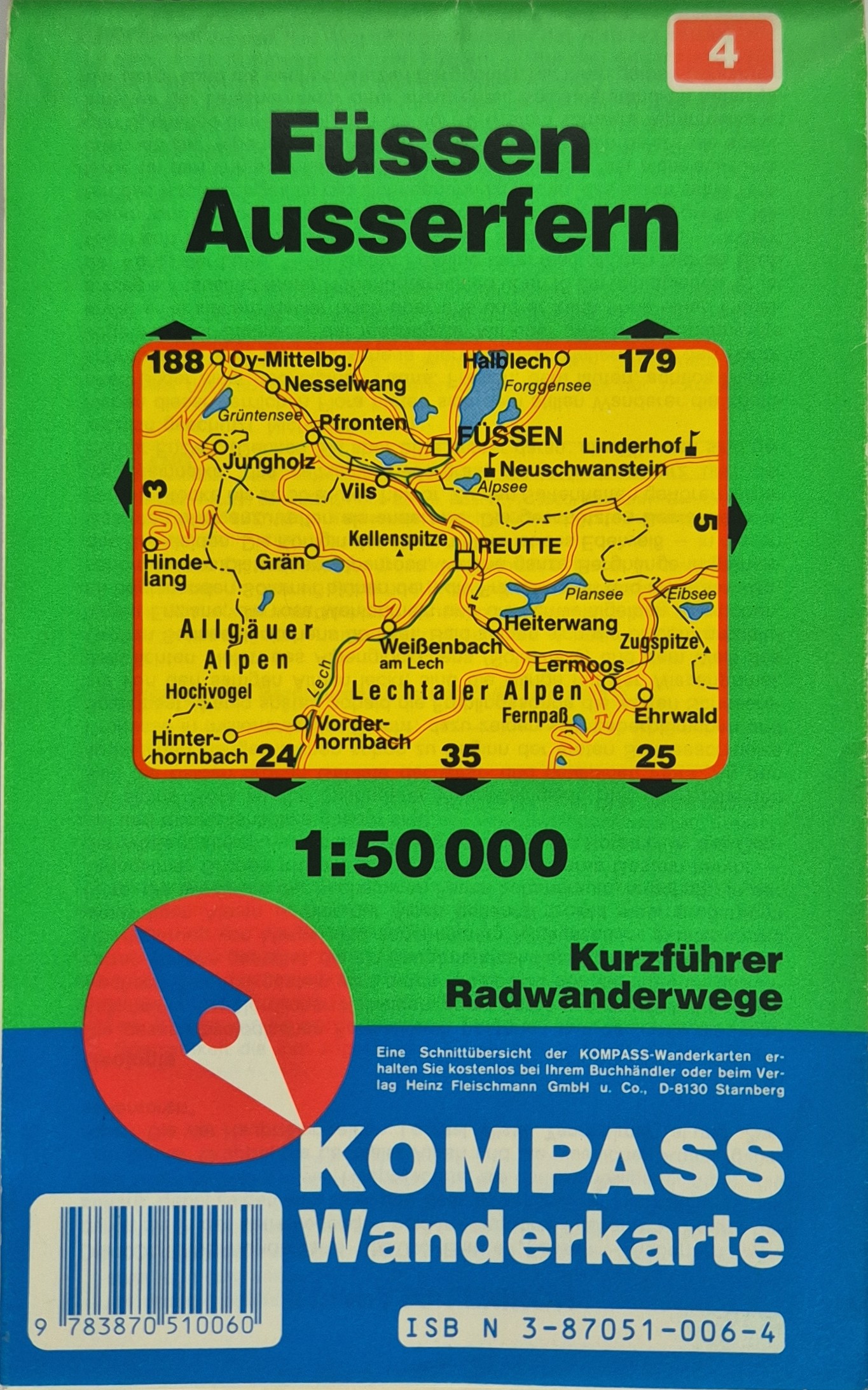 Füssen Ausserfern Hiking and cycling map of the Füssen and Außerfern region at a scale of 1:50000. Includes a short guide for cycling routes (Kurzführer Radwanderwege).
 -
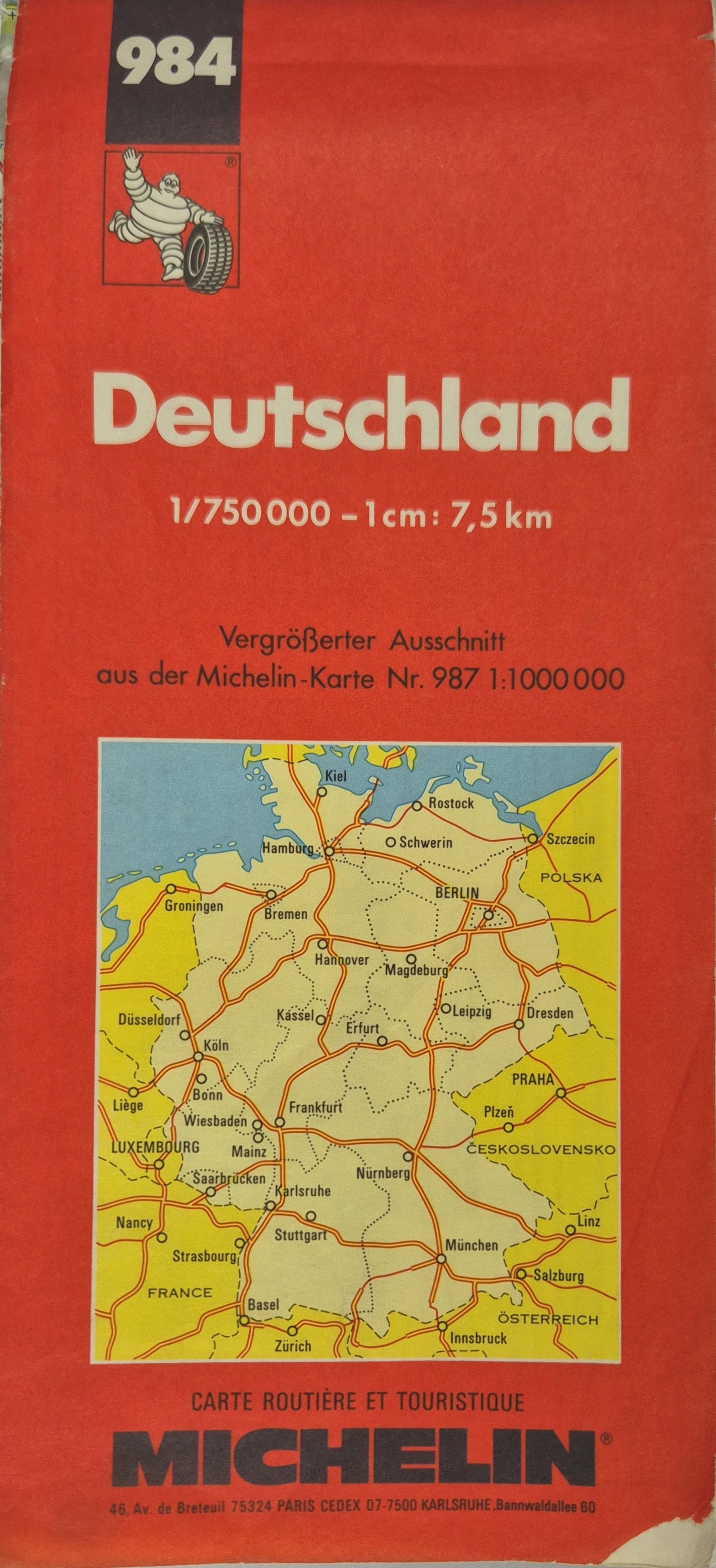 Deutschland / Allemagne / Germany Road and tourist map of Germany at a scale of 1:750000 (1 cm = 7.5 km). This is an enlarged extract from Michelin map No. 987, originally at a scale of 1:1000000.
 -
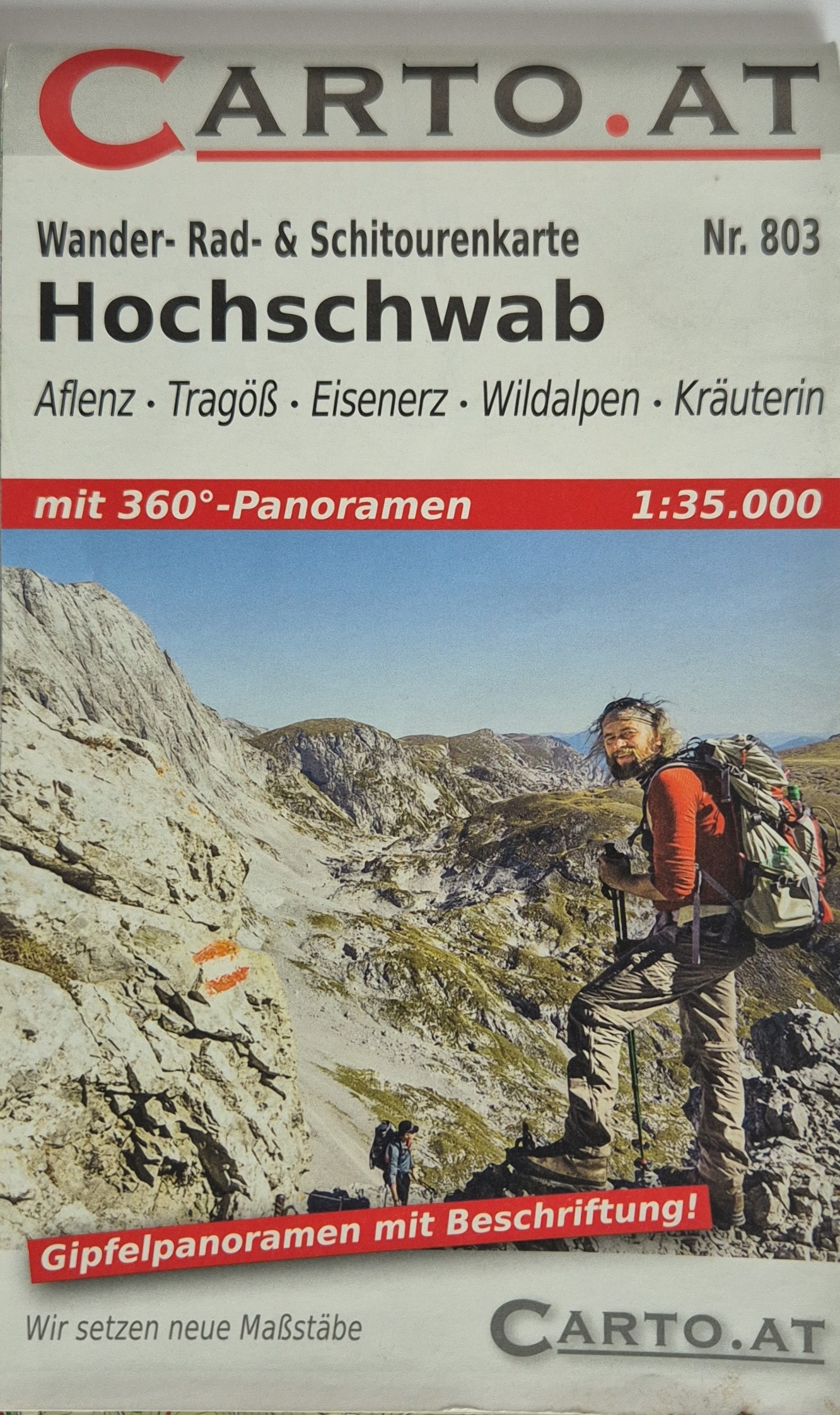 Hochschwab Mit 360°-panoramen. Covers Aflenz, Tragöß, Eisenerz, Wildalpen, and Kräuterin areas. Scale: 1:35000. Map No. 803. Tagline: “Wir setzen neue Maßstäbe”
 -
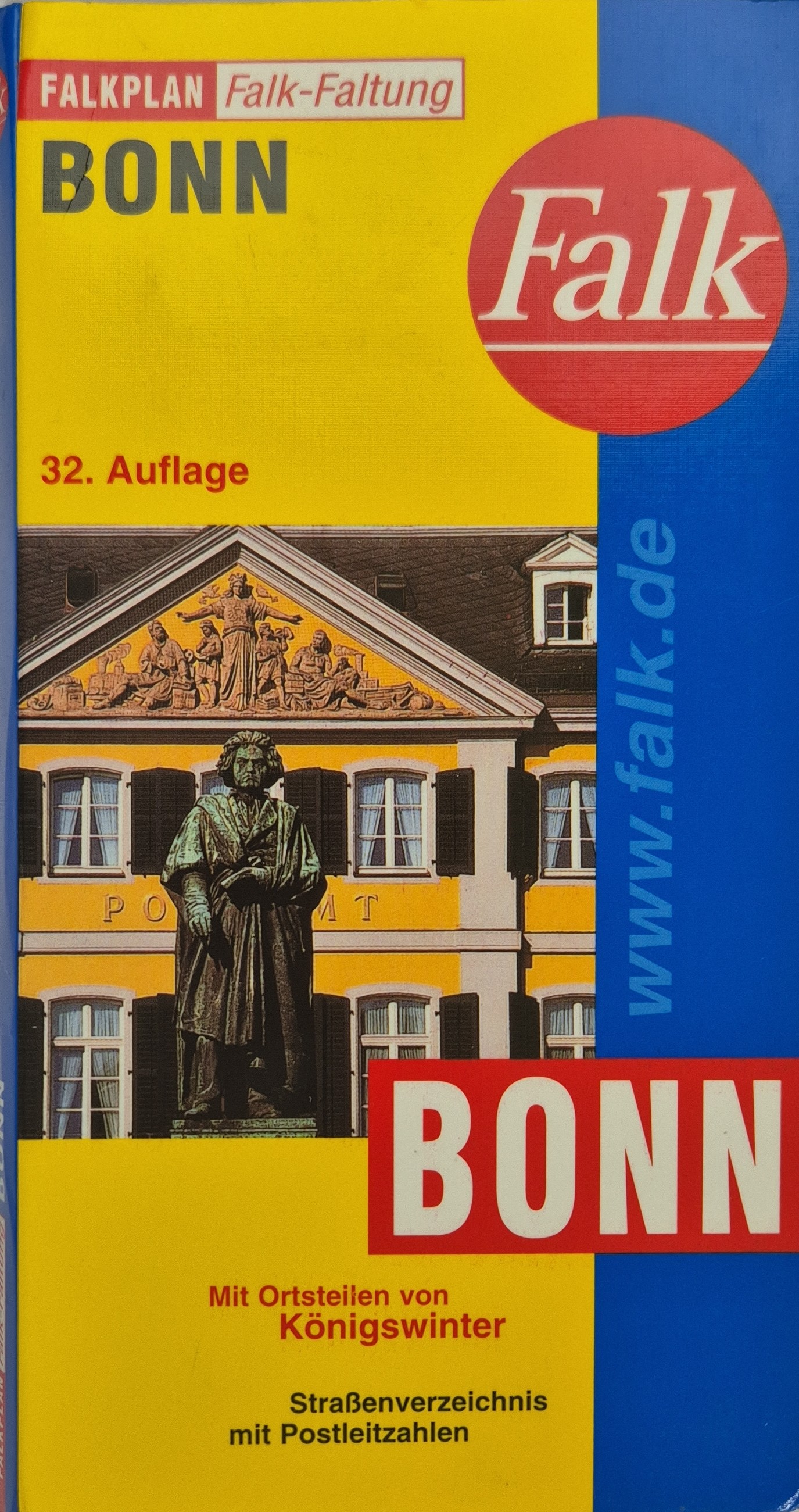 Falkplan Bonn – Mit Ortsteilen von Königswinter Scale: Price: €4,95
 -
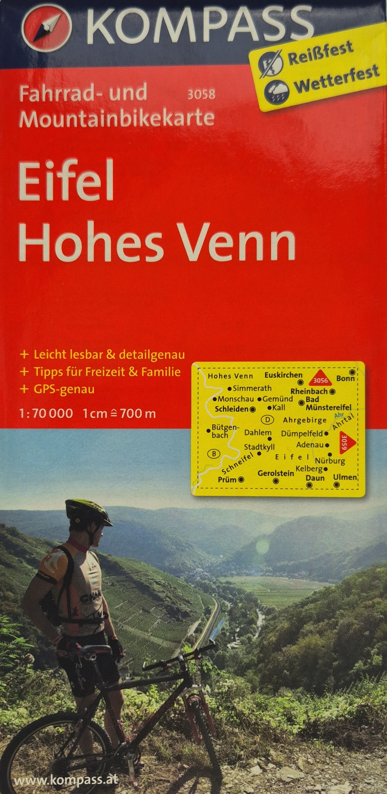 Eifel / Hohes Venn A detailed cycling and mountain biking map covering the Eifel and Hohes Venn regions. Scale 1:70000 (1 cm = 700 m). Printed on durable, weather- and tear-resistant material.
 -
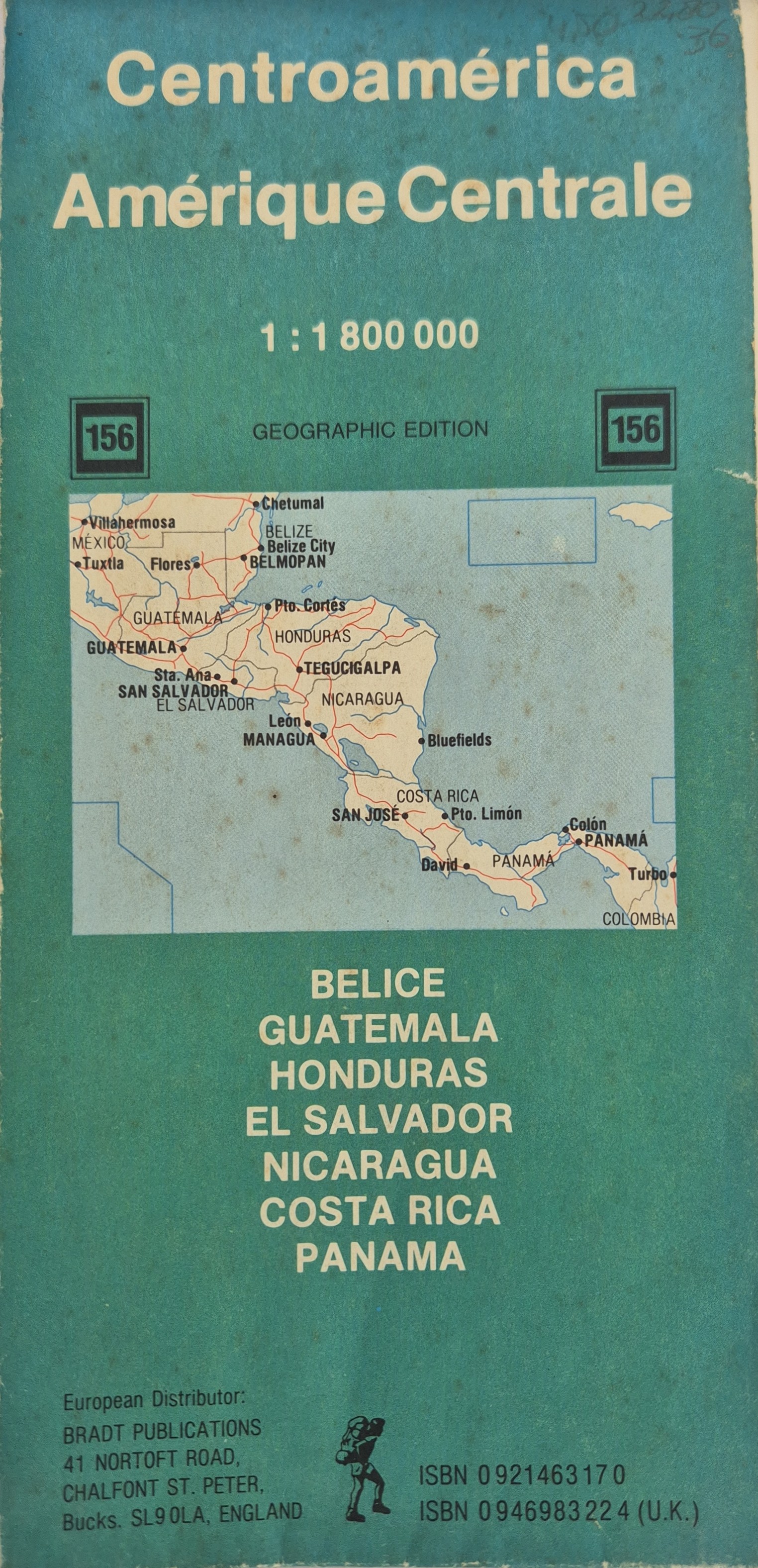 Central America / Zentralamerika / Centroamérica / Amérique Centrale Multilingual travel map of Central America showing major cities, borders, roads, and physical features. Geographic edition no. 156. Includes coverage of Belize, Guatemala, Honduras, El Salvador, Nicaragua, Costa Rica, and Panama. Scale: 1:180000
 -
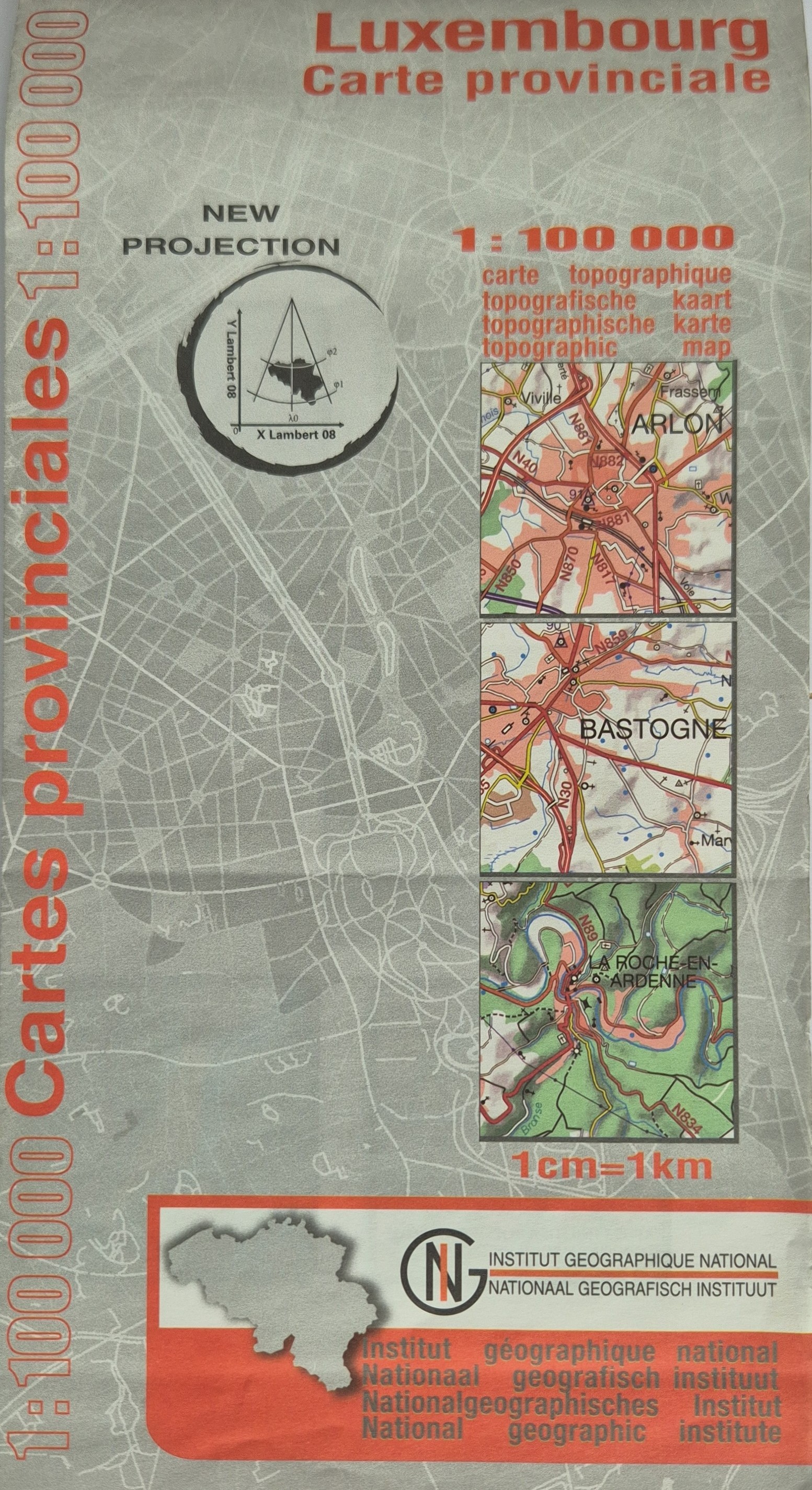 Carte provinciale: Luxembourg Topographic provincial map of Luxembourg province, Belgium, produced by the Institut Géographique National. Shows roads, elevation, and geographic features at a scale of 1:100000. Map uses the “X Lambert 08” projection and contains trilingual labeling in French, Dutch, and German. The back of the folded map shows the province’s location within Belgium and its relation to neighboring regions including Grand-Duché de Luxembourg.
 -
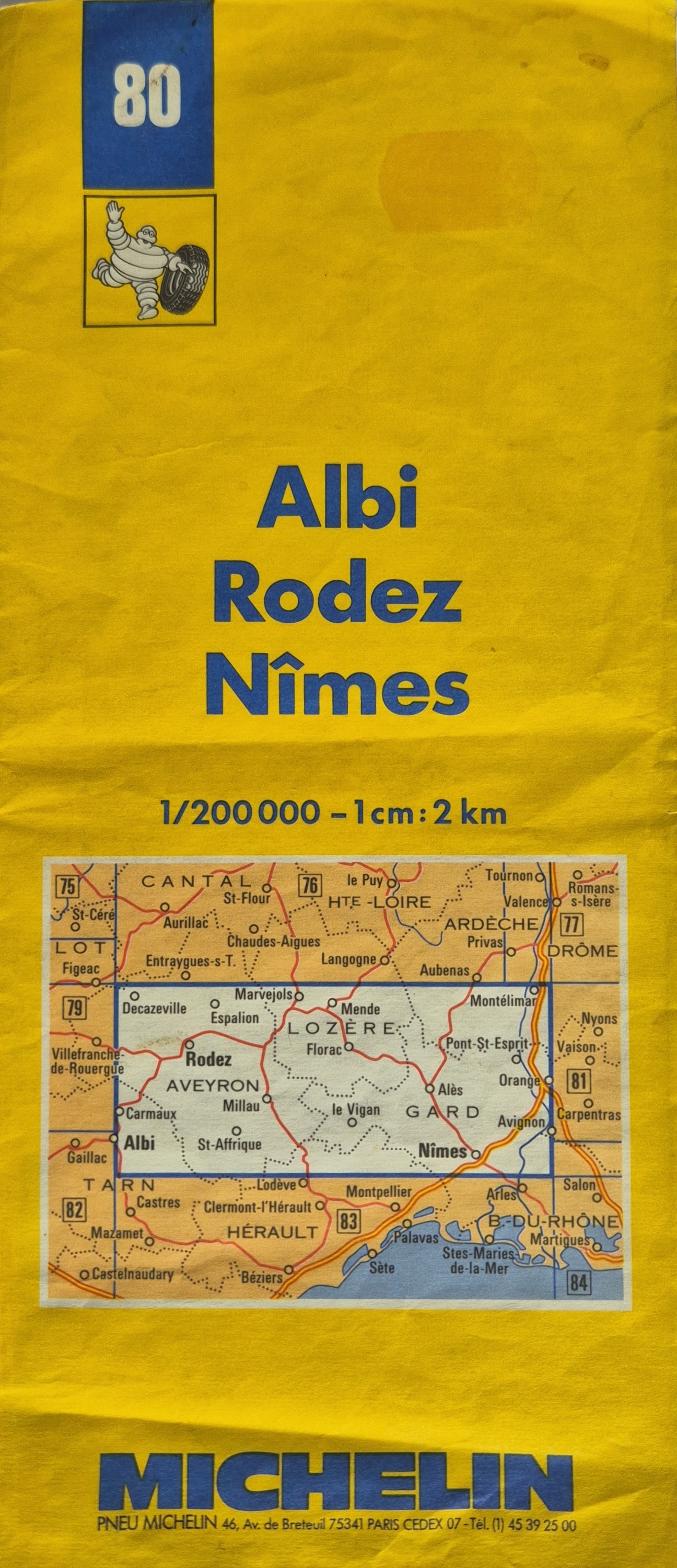 Albi / Rodez / Nimes Scale: 1:200000 - 1 cm : 2km
 -
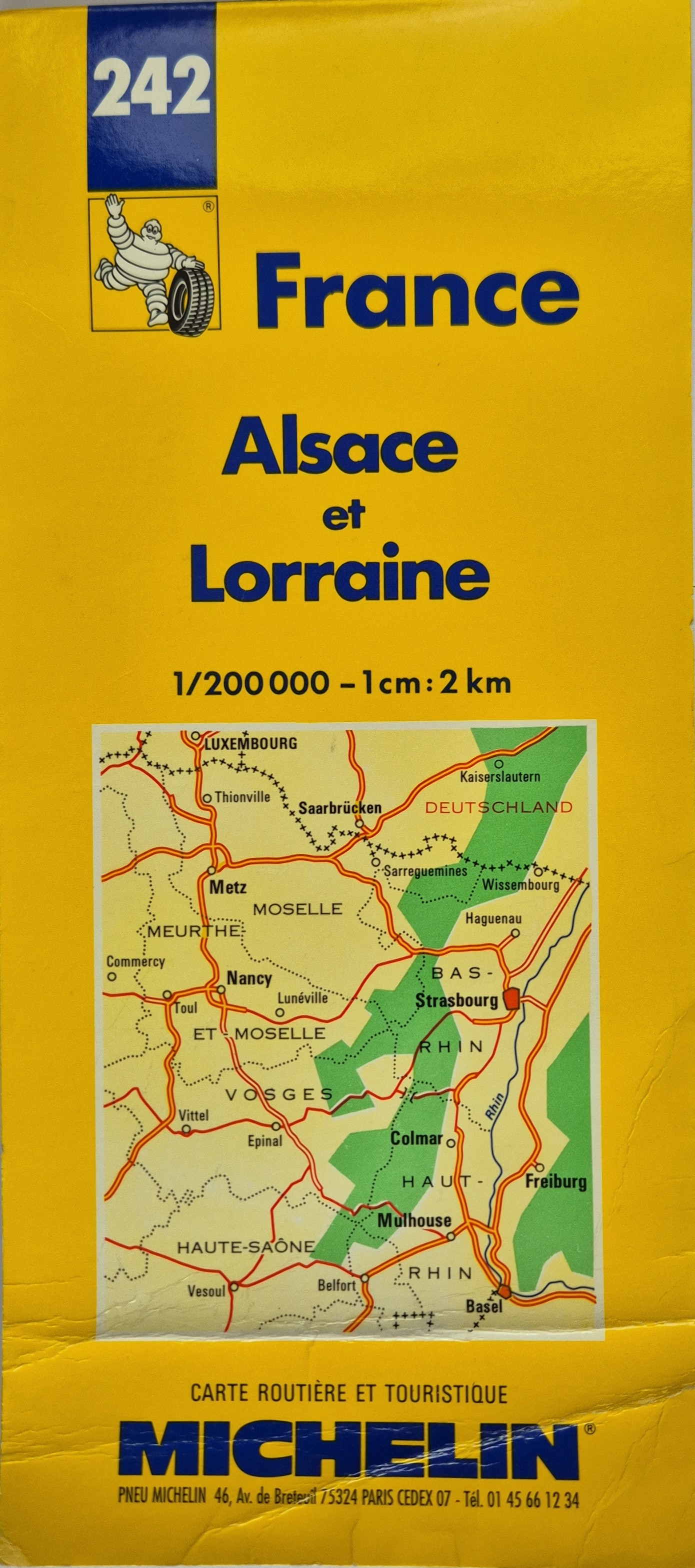 France: Alsace et Lorraine Folded road and tourist map of the Alsace and Lorraine regions in France, including cities like Metz, Nancy, Strasbourg, and Mulhouse.
 -
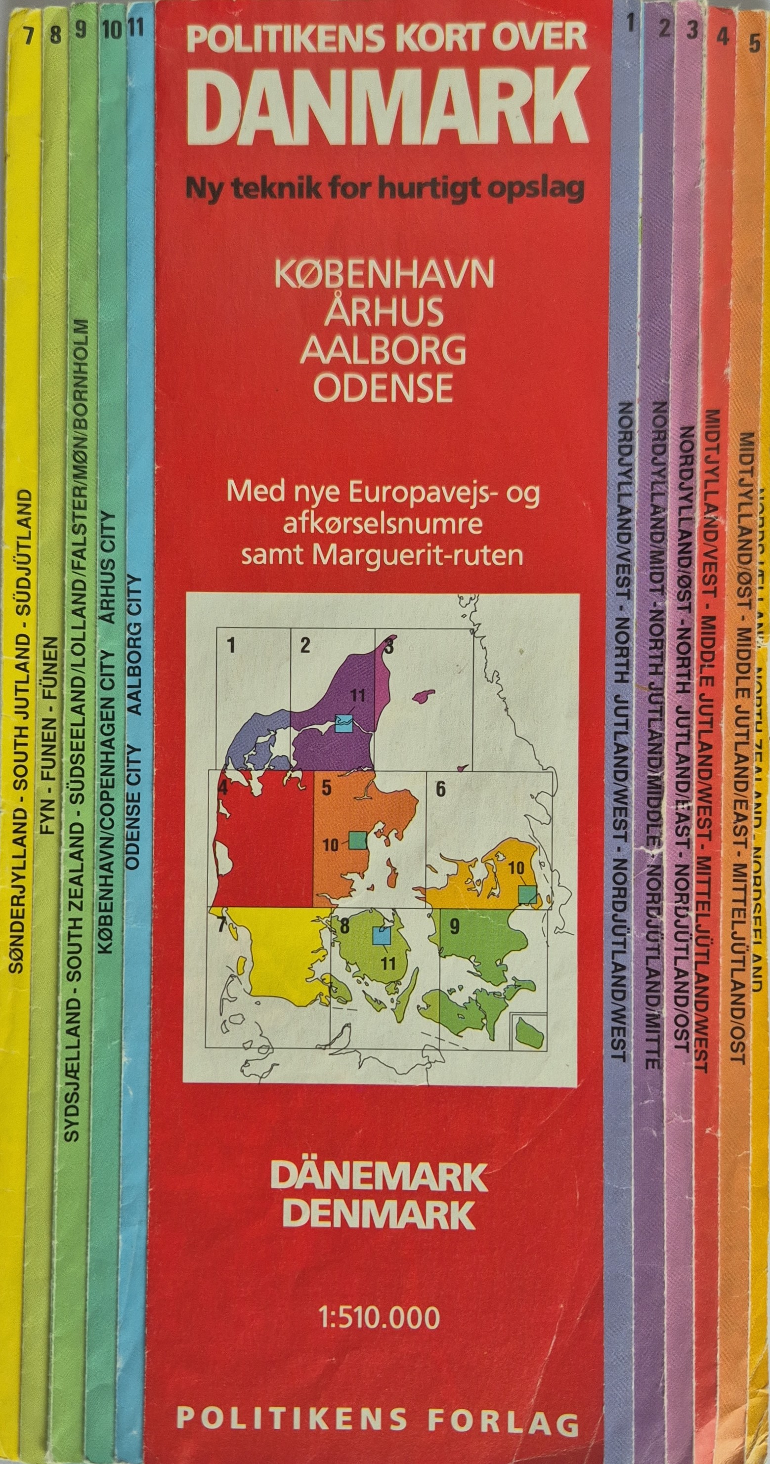 Politikens Kort over Danmark A multilingual folded road and tourist map of Denmark, divided into 11 color-coded regional sections. Features cities such as København, Århus, Aalborg, and Odense.
 -
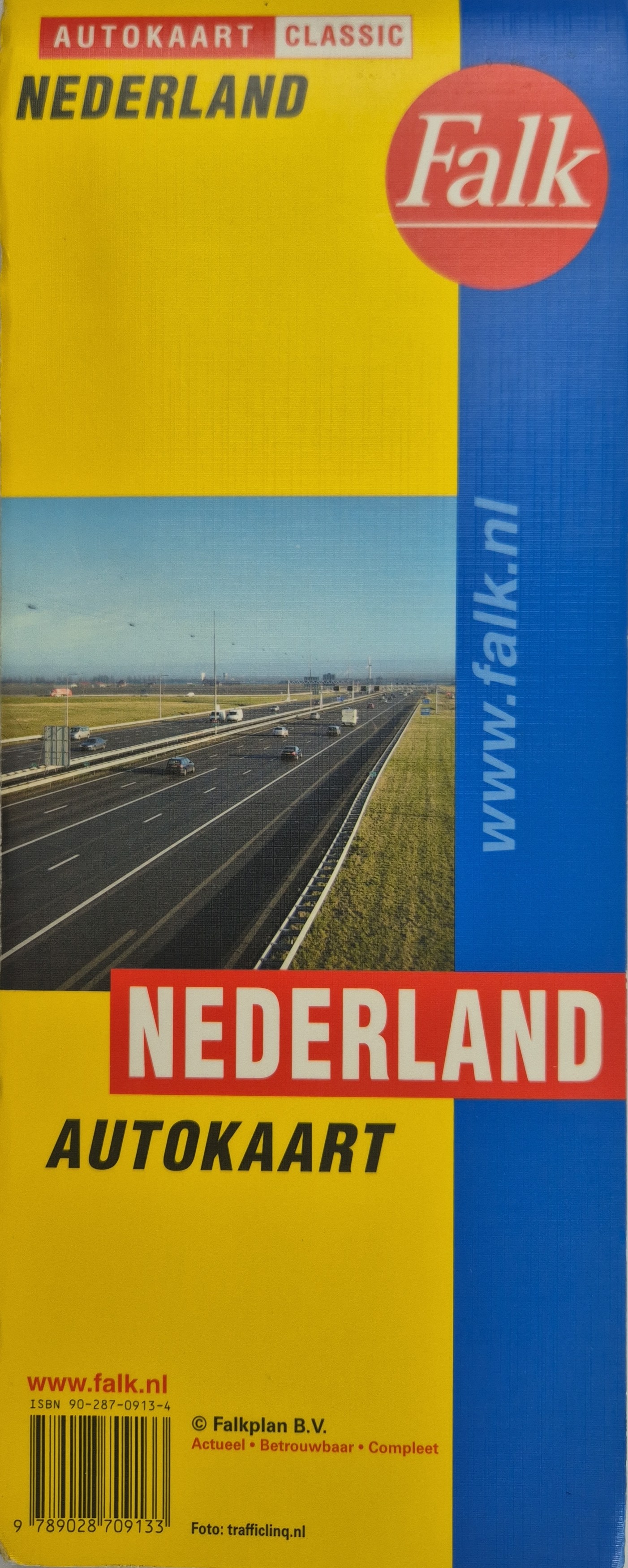 Nederland Autokaart Folded automobile map of the Netherlands published by Falkplan B.V. as part of the “Classic” series. Cover shows a Dutch motorway with moderate traffic, and includes the tagline: Actueel • Betrouwbaar • Compleet.
 -
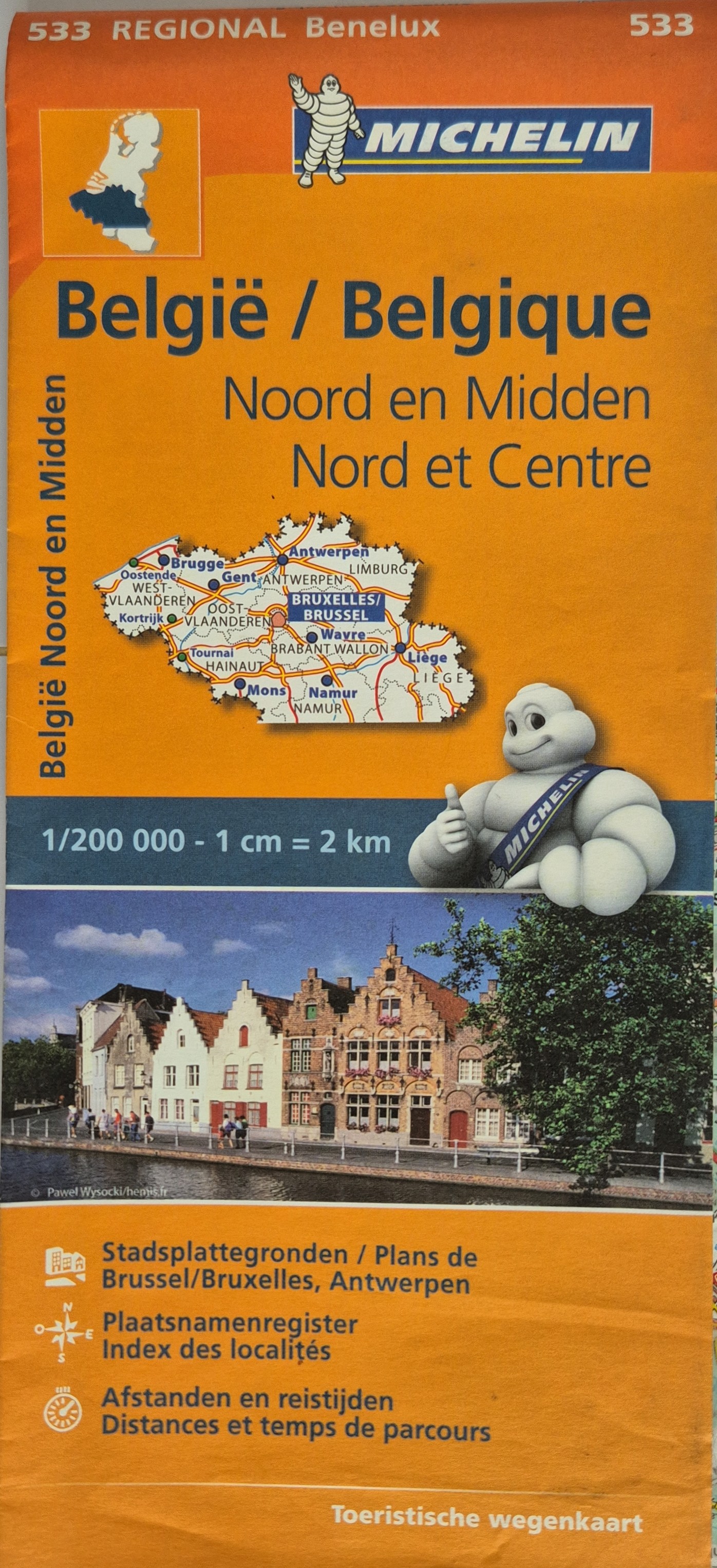 België / Belgique: Noord en Midden / Nord et Centre Scale: 1:200000
 -
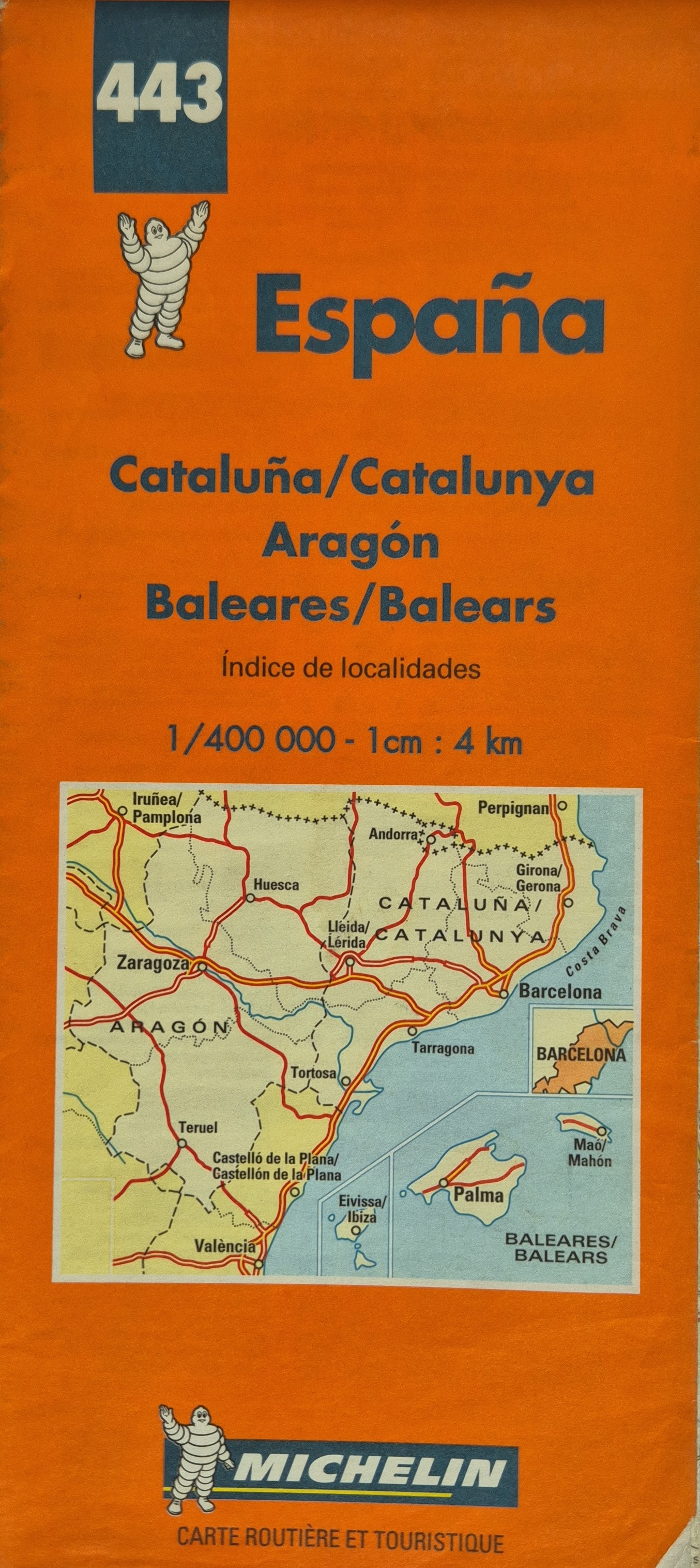 España – Cataluña / Cataluña / Aragón / Baleares / Balears Folded road and tourist map covering northeastern Spain, including the autonomous communities of Catalonia, Aragón, and the Balearic Islands. Map includes red road routes, cities, and a locality index. Front cover highlights the Barcelona–Zaragoza–Palma region. Multilingual labels in Spanish, Catalan, and French. Reverse side includes an overview map of Spain with covered region highlighted.
101–123 of 123